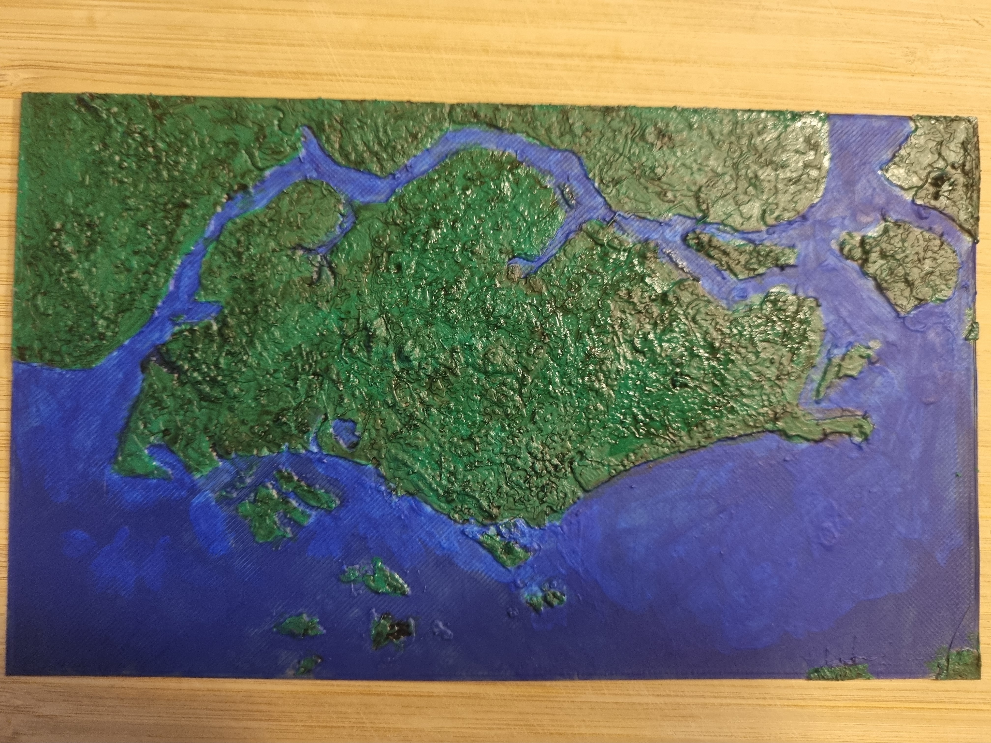
I recently purchased the Ender 3 V2 3D printer to print miniature for D&D and it has been great for that. I love being able to print any monster mini I need for a game. I have also been trying to do other prints with the printer, simple utility items. I had an idea to make a 3D topography map and as I am currently living in Singapore I decided to make one of this fine city.
Turns out Singapore is quite flat, I should have seen this coming. With the highest point being around 136 metres, its not the best representation of this process but I wanted to document how I managed to do it.
Here is the end result.

The process is quite simple:
- Get the coordinates for the location you want to generate the topographic map for.
- Use the Terrain2STL web app to produce
the topographical map as a stl file.
- In my case, I scaled the Z axis by 4 to be able to see something three dimensional.
- Pop the stl file into your slicer of choice (I used cura) and generate the gcode for your printer and print away.
- I did manage to paint the map afterwards just to get more from it but it looked really with just a coat of primer.
